Cadastral Plans & Site Plans in Ghana
Airban Engineers provides accurate, professionally prepared cadastral plans and site plans for land registration, regularisation, and development approvals across the Greater Accra Region and the Central Region of Ghana.
Using GNSS-based field surveys and geomatics expertise, we produce plans that clearly show parcel boundaries, dimensions, bearings, and coordinates – suitable for Lands Commission and local authority processes.
Request a Cadastral or Site PlanWhat Is a Cadastral Plan?
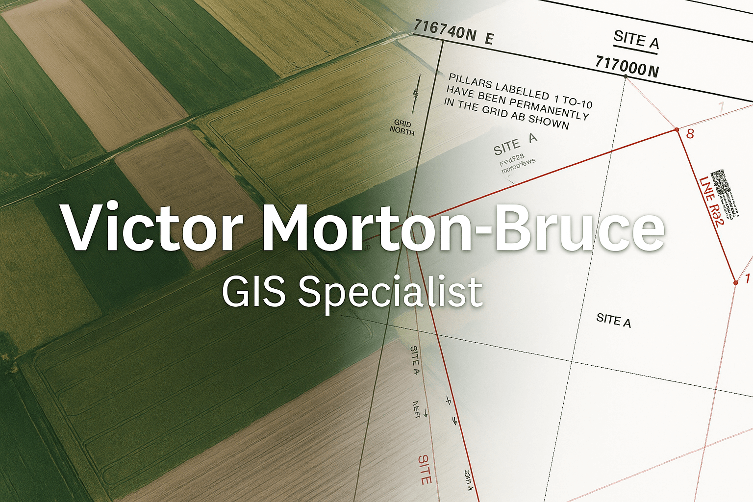
A cadastral plan is an official map that shows the boundaries, dimensions, and identifiers of a parcel of land. It is used for land registration, documentation, and legal reference.
In Ghana, cadastral plans are essential for:
- Land title and deed registration
- Land regularisation and documentation
- Resolving boundary-related issues
- Supporting sales, leases, and subdivisions
What Is a Site Plan?
A site plan is a scaled drawing of a specific parcel that shows its shape, size, bearings, distances, and relevant nearby features. It is often required when:
- Applying for building permits
- Submitting documents to Lands Commission
- Processing land at the district or municipal assembly
- Preparing architectural or engineering designs
Our site plans are produced with clear labelling, scales, north arrows, and coordinate references to avoid confusion.
How We Prepare Your Plan
- Field Survey: We visit your land with GNSS equipment and collect accurate coordinates along the boundary.
- Boundary Interpretation: We confirm the intended boundary based on beacons, fences, occupation, and your documentation.
- Plan Drafting: We prepare a clean, readable cadastral or site plan with all required elements.
- Review & Final Output: We share the draft with you, make corrections if needed, and then issue the final plan.
Where We Provide Cadastral & Site Plans
We focus on clients within the:
- Greater Accra Region: Accra, Tema, Kasoa, Adenta, Madina, Ashaiman, and surrounding communities.
- Central Region: Cape Coast, KEEA, Mfantsiman, Abura-Asebu-Kwamankese, Winneba, Saltpond, and nearby towns.
Why Work With Airban Engineers?
- GNSS-based accuracy: Field data collected with professional instruments.
- Clear documentation: Plans structured to support registration, permits, and legal processes.
- Local understanding: Familiarity with Ghanaian land systems and Lands Commission workflows.
- Client support: We explain your plan so you understand exactly what has been captured.
Frequently Asked Questions
How long does it take to get a cadastral or site plan?
Many plans can be completed within a few working days after the site visit, depending on the location, accessibility, and complexity of the parcel.
Can you assist with land that has unclear boundaries?
Yes. We can conduct a boundary survey to map the current occupation and compare with available records where possible.
Are your plans accepted for Lands Commission processes?
Our work is structured to support Lands Commission and district assembly requirements, and we can advise you on how to present the plan as part of your documentation.
Request a Cadastral or Site Plan
If you need a cadastral plan or site plan in the Greater Accra or Central Region, we are ready to assist.
📞 WhatsApp: +233 20 737 2140
📧 Email: airbanengineers@gmail.com