Mapping Ghana’s Future, One Dataset at a Time
Turning spatial data into powerful stories that shape agriculture, development, and sustainability — across Ghana and beyond.
Explore My Projects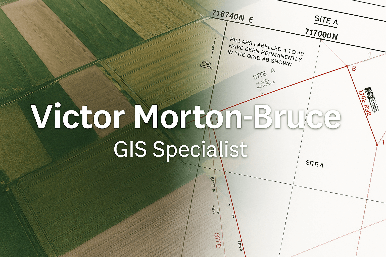
Turning spatial data into powerful stories that shape agriculture, development, and sustainability — across Ghana and beyond.
Explore My Projects
I’m Victor Morton-Bruce, a Geospatial Engineer passionate about revealing the patterns that drive change.
From mapping farms in the Ashanti Region to visualizing flood risk and tourism potential, my work blends technology and storytelling to help decision-makers see what data can’t always say.
I believe Africa’s next great transformation will be map-driven — powered by data, innovation, and the courage to see the unseen.
A nationwide visualization of Ghana’s 260 districts — interactive, detailed, and open-source.
View Live DemoMapping flood-prone zones to support climate resilience and urban planning.
View Live DemoA real-time view of 250 farms across the Ashanti Region — explore crops, acreage, and yields.
View Live DemoHighlighting key attractions and cultural sites — encouraging local travel and exploration.
View Live DemoTracking pollution levels across the city to raise awareness and inspire environmental action.
View Live Demo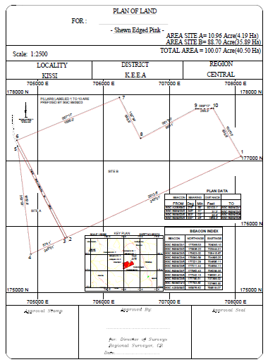
Our cadastral and topographic mapping services deliver precise, GNSS-based land surveys for accurate boundary delineation and terrain definition. We produce professional site and topographic plans compliant with Lands Commission Ghana standards — ensuring your land documentation is clear, accurate, and ready for registration.
Sample cadastral site plan prepared for Lands Commission submission (GNSS-based survey).
Request a Site PlanMany land buyers rely on indentures or seller promises. Unfortunately, ownership documents do not confirm the physical position of the land.
A certified survey ensures the land:
We provide fast, high-precision cadastral verification using GNSS equipment and validated coordinate systems accepted by the Lands Commission.
Request Survey VerificationPractical articles on GIS, cadastral plans, land registration, and surveys in Ghana. Share these with clients to build trust fast.
For startups & NGOs just beginning their geospatial journey.
1 map + data visualization + hosting.
For organizations ready to scale insight and impact.
Multiple datasets + filters + branded interactive dashboards.
For ministries, institutions, and enterprise clients.
Nationwide mapping + analytics dashboards + maintenance & data updates.
Have a project idea, dataset, or challenge worth mapping? I’d love to collaborate.
💼 Work Email: airbanengineers@gmail.com
✉️ Personal Email: victormortonbruce@gmail.com
🔗 LinkedIn |
GitHub |
Portfolio