Land Surveyor in Ghana – Cadastral Surveys & Site Plans
Airban Engineers provides professional land surveying services in the Greater Accra Region and Central Region of Ghana. We specialise in cadastral surveys, boundary demarcation, topographic surveys, and site plans prepared for Lands Commission and local authority submissions.
Whether you are registering land, regularising ownership, applying for a building permit, or clarifying boundaries, we help you define your parcel accurately and clearly.
Request a Site Plan or SurveyOur Land Surveying Services
- Cadastral Surveys – Precise boundary surveys for title and deed registration.
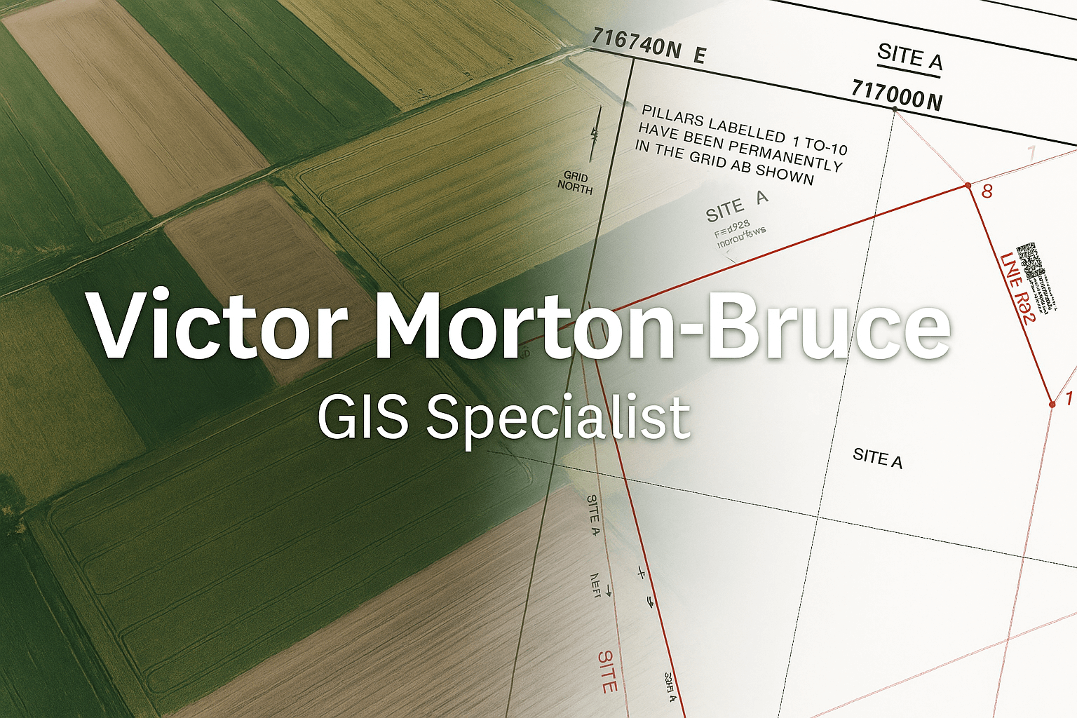
- Site Plans – Scale drawings showing parcel layout, dimensions, and coordinates.
- Boundary Demarcation – Marking and confirming plot limits on the ground.
- Topographic Surveys – Elevation and feature mapping for design and engineering.
- As-Built Surveys – Documenting existing structures, roads, and services.
Where We Work
We serve clients in:
- Greater Accra Region: Accra, Tema, Kasoa, Adenta, Madina, Ashaiman, and surrounding areas.
- Central Region: Cape Coast, KEEA, Mfantsiman, Abura-Asebu-Kwamankese, Winneba, and nearby towns.
Our Survey Process
- Site Visit & GNSS Data Collection – We visit your land with GNSS equipment to collect accurate coordinates.
- Boundary Analysis & Mapping – We process the data, define parcel edges, and prepare a clean plan.
- Site Plan Production – We produce a professional site plan with coordinates, bearings, scale, and north arrow.
- Submission-Ready Output – Plans are prepared for Lands Commission or district assembly requirements.
Why Choose Airban Engineers for Land Surveying?
- Accuracy: GNSS-based measurements and careful quality checks.
- Clarity: Readable plans with clear boundaries and labelling.
- Support: We guide you on how to use the plans for registration and permits.
- Professionalism: Work delivered on time with proper documentation.
Frequently Asked Questions
How long does a site plan take?
Most site plans are completed within a few working days after the field survey, depending on location and complexity.
Can you help me if my boundaries are in dispute?
Yes. We can carry out a boundary survey and provide a clear plan showing the existing occupation and parcel limits.
Do you prepare plans for Lands Commission?
Yes. Our work is structured to support Lands Commission submissions and local authority requirements.
Request a Land Survey or Site Plan
Book a land survey in Greater Accra or the Central Region today:
📞 WhatsApp: +233 20 737 2140
📧 Email: airbanengineers@gmail.com