GIS Specialist & Land Surveyor in Ghana
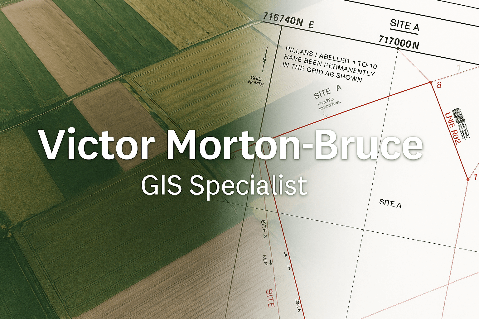
Victor Morton-Bruce is a professional GIS Specialist and Land Surveyor in Ghana, delivering accurate cadastral plans, topographic surveys, and geospatial mapping services for land registration, development, and infrastructure projects.
Services are provided across Greater Accra and the Central Region, with all survey outputs compliant with Lands Commission Ghana requirements.
Request GIS SupportProfessional GIS & Surveying Services
- Cadastral Plans for Lands Commission Registration
- Topographic Survey & Terrain Mapping
- GIS Mapping & Spatial Data Analysis
- Land Boundary Delineation (GNSS-based)
- Interactive Web Maps & Dashboards
Service Areas
Surveying and GIS services are available in:
- Greater Accra Region
- Central Region
Why Work with Victor Morton-Bruce | Airban Engineers?
- GNSS-based field surveys with professional accuracy
- Experience with cadastral and topographic mapping
- Compliance with Lands Commission Ghana standards
- Clear deliverables suitable for registration and planning
View sample projects including district mapping, flood risk analysis, and agriculture GIS dashboards.
Frequently Asked Questions
Do you provide GIS services for private landowners and developers?
Yes. We frequently support land documentation, development feasibility studies, and site selection mapping.
Can you host maps online for my team or investors?
Yes. We build web maps and dashboards that can be shared as a simple link, viewable on phone or laptop.
How do I start a project?
Send us a brief description of your location, data, and goal via WhatsApp or email. We’ll guide you from there.
Start a GIS Project Today
Ready to turn your spatial data into a clear map or dashboard?
Contact Airban Engineers:
📞 WhatsApp: +233 20 737 2140
📧 Email: airbanengineers@gmail.com